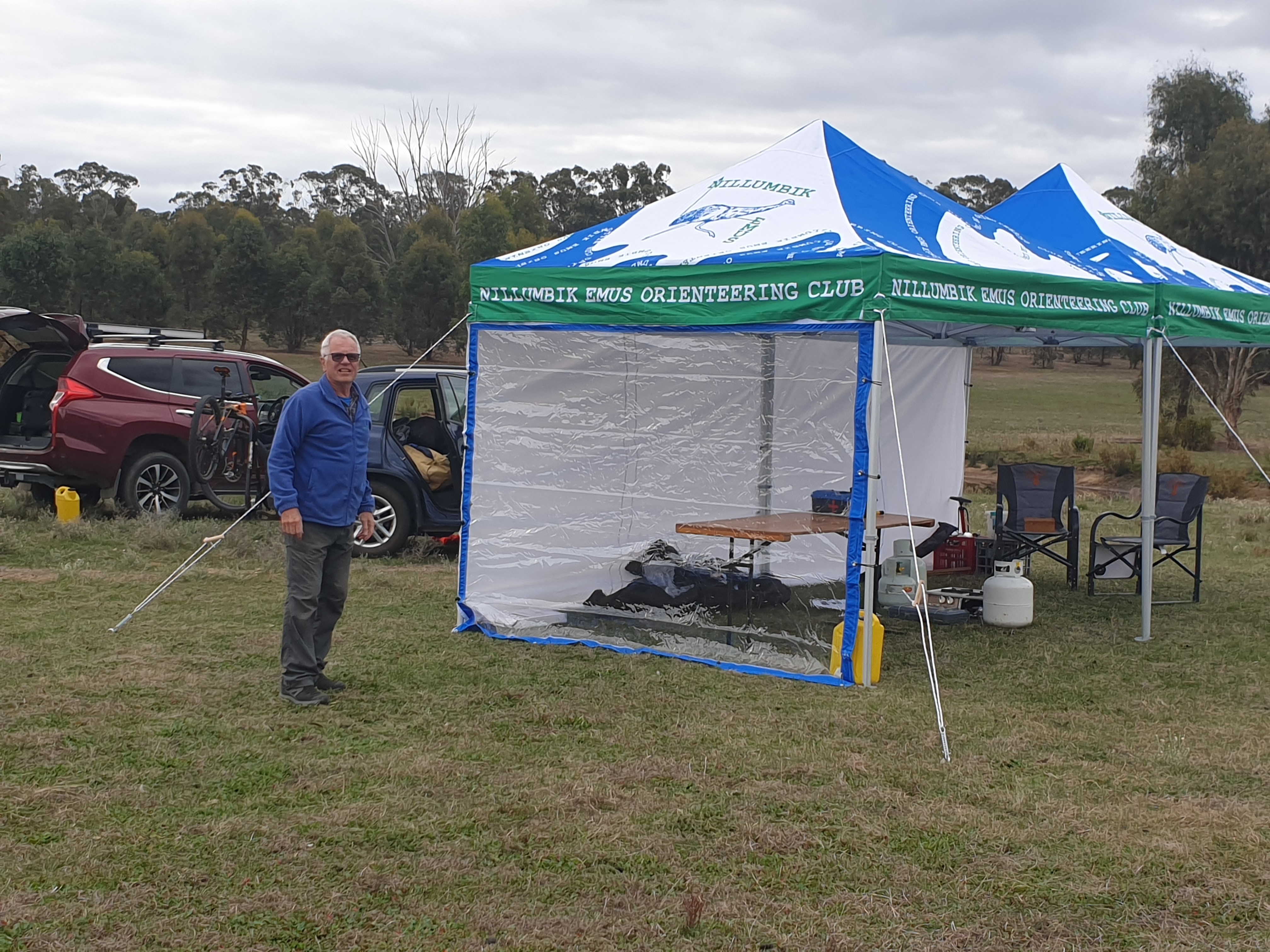
Nillumbik Emus Orienteering Club Rules for an Incorporated Association
- Nillumbik Emus Orienteering Club Inc. A00303358L
- ABN 31 366 220 205 GST nil or exempt
Sportscover Certificate of Currency Insurance 2026
Bank Deposit Details
- Account Name: Nillumbik Emus
- BSB: 063112
- Account Number: 10321951
- Payment details: Reference with your name
DELWP Forest Fire Management Check for planned burns
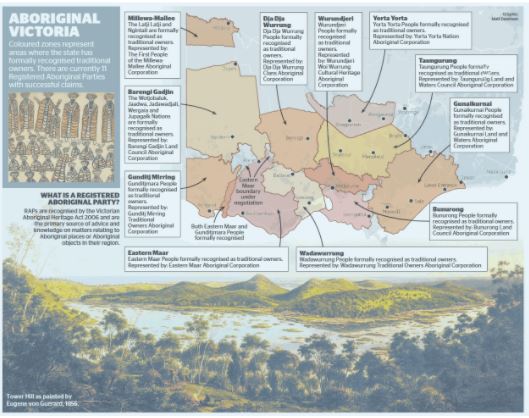
Cultural recognition of Aboriginal and Torres Strait Island People
All Victorian Aboriginals identify as Koorie
- Orienteering Victoria and Dja Dja Wurrung Agreement
- Recognition Statement Dja Dja Wurrung Clans Maps of Castlemaine Diggings National Heritage Park (Glenluce, Tunnel Hill, Crocodile Reservoir, Evenmore), Muckleford State Forest (Mia Mia, Muckleford Diggings MTBO and Foot), Sandon State Forest (Saligari MTBO, Laudermine, Joyces Creek, Captains Gully), Mt Tarrengower, Whroo State Forest (Whroo MTBO and Foot), Maldon, (Smiths Reef MTBO and Foot)
- Wadawurrung (Wathaurong) Traditional Owners Aboriginal Corporation Maps of You Yangs, Borhoney Ghurk, Bungal State Forest (Bunjil), Creswick (St Georges Lake MTBO and Foot) and Steiglitz (Orienteering no longer permitted)
- Wurundjeri Maps of Yarra Bend/Studley Park, Candlebark Park/ Eltham Lower Park, Doongalla – The Basin, Diamond Creek, Hurstbridge MTBO and Foot, Templestowe Trails MTBO and several Melbourne Park/Street maps
- Bunurong Land Council e.g. Mornington Peninsula areas
Land Map of Aboriginal Victoria
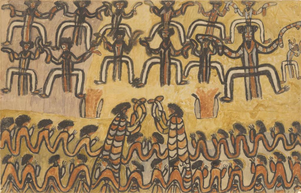
William Barak was a traditional ngurungaeta (elder) of the Wurundjeri-willam clan, first inhabitants of present-day Melbourne. He became an influential spokesman for Aboriginal social justice and an important informant on Wurundjeri cultural lore.
The original inhabitants of Nillumbik were the Wurundjeri Aboriginal people. Nillumbik, was named in the late 1830s, and the name was derived from an Aboriginal word nyilumbik meaning “shallow earth”. Nillumbik was also an early name for the area around the Diamond Valley.

You must be logged in to post a comment.